My wife and I went for a short hike or long walk, depending on who you talk to. We walked about 5 miles out and back on a local rail trail. I used my cell phone to track and map our trip. I think a lot of people do this, which I think is great. I use a phone app called ” BackCountry Navigator”. The free version allows you to plot your trip on a topo map and save it. It gives you stats like Total time, distance and speed. The paid version gives you the ability to download different map layers and many more features. I don’t believe that Marylynn and I could have got lost on this particular trip. I really don’t believe that you could get lost on most hikes you might take in New Jersey, but you can certainly end up really far away from your car!
As I said, most of us count on our cell phones for navigation. This works great where we have cell coverage. What if the damn thing goes dead? Do you carry a paper map? A compass? Can you read a map? Do you know how to use a compass?
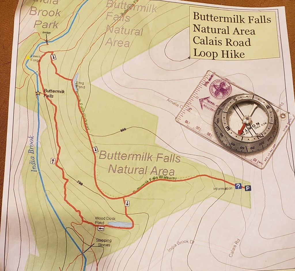
I recommend that we all carry a paper map and a compass. You don’t need the skill to make a trip to the north pole, but you should be able to find north. Use the map and compass to get you the the nearest road if you get turned around in the woods. At the very least, pick up a trail map at the trail head if available. These can usually help you navigate by landmarks to get you back to your car in a pinch. Maybe seek out a class on map and compass use at you local library, hiking club or outdoor store. You could use that cell phone to find online instructions. Oh wait, your phone crapped out, that’s why you need the map in the first place.
