What in the world is going on out here?

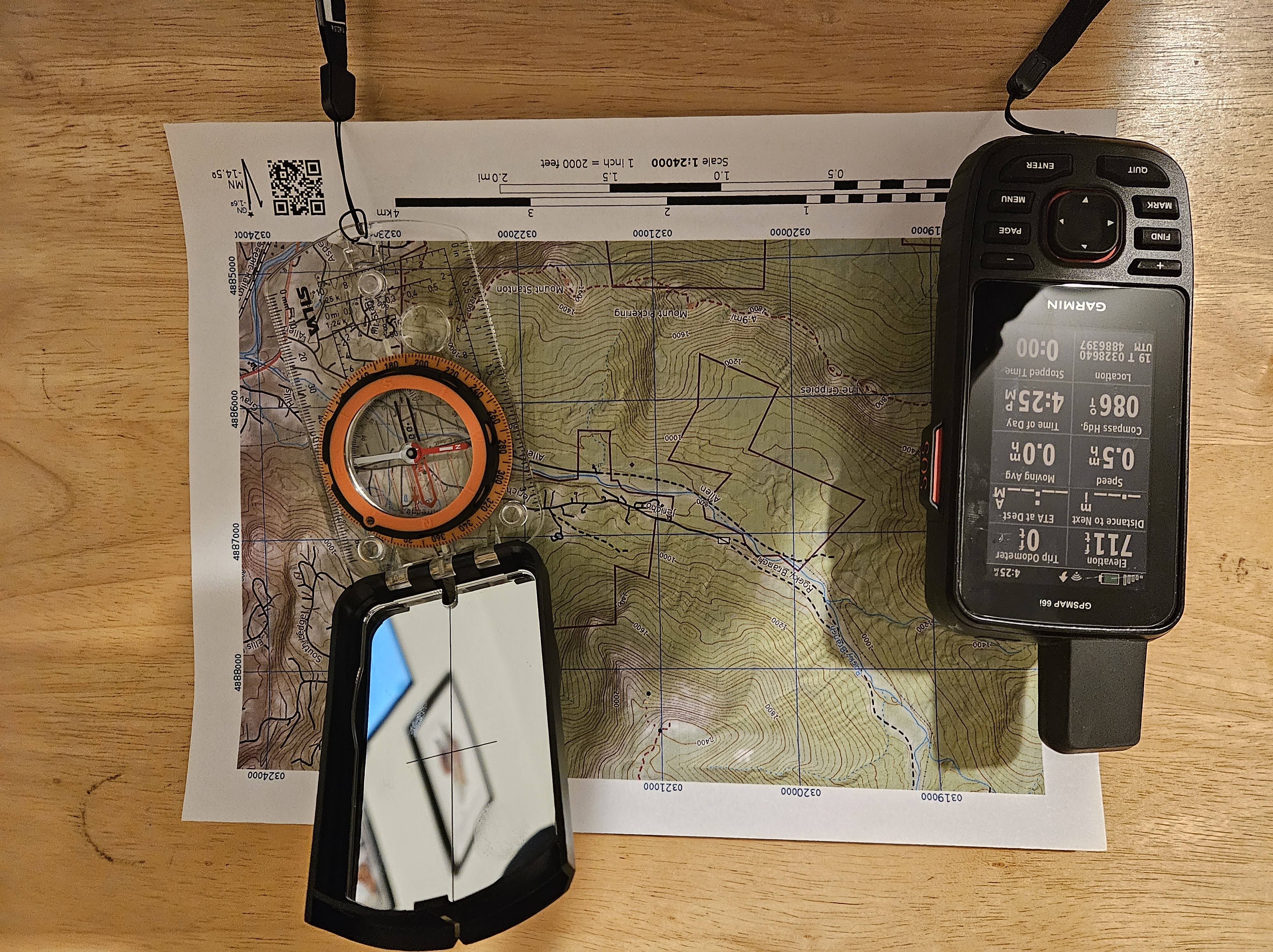
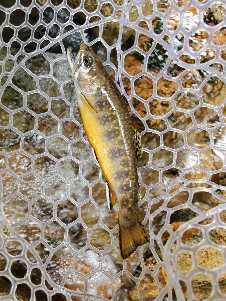
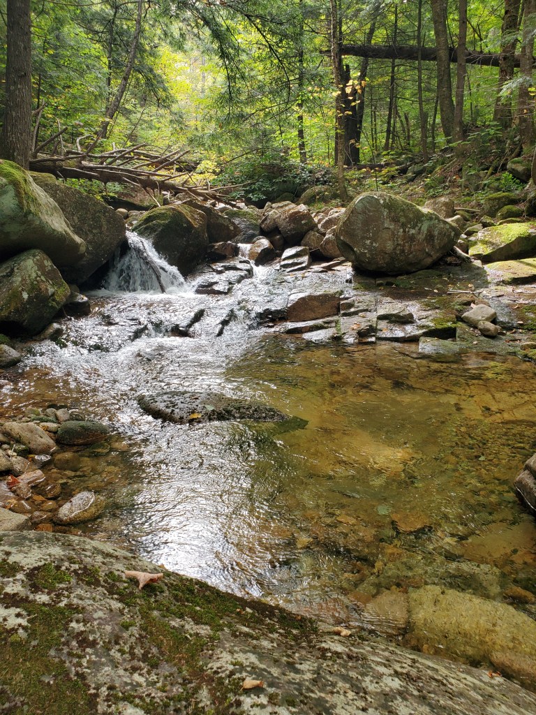
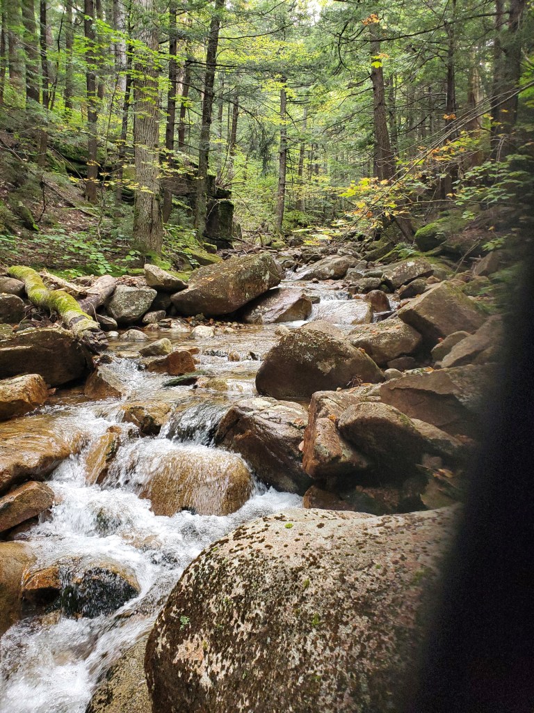
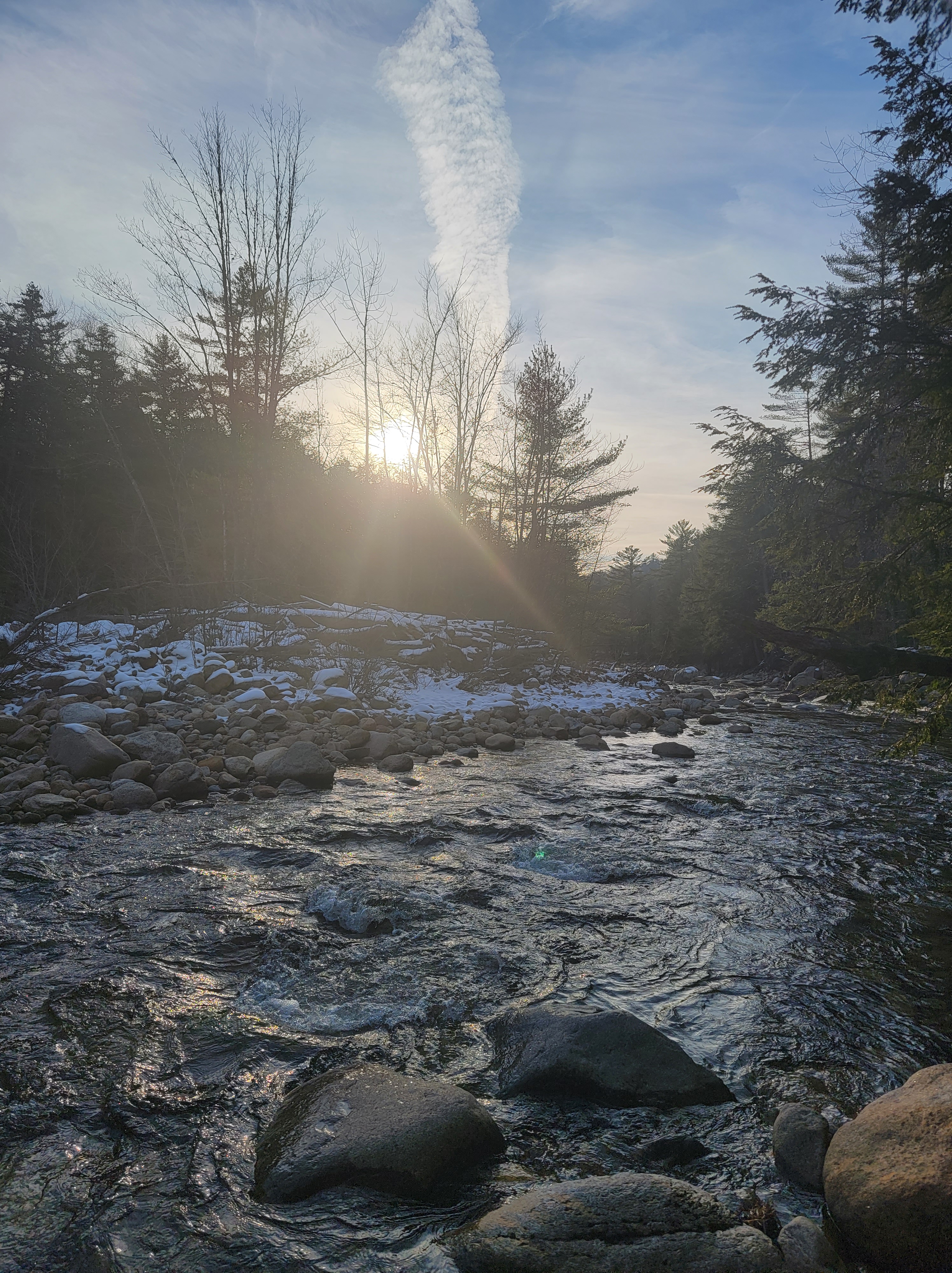
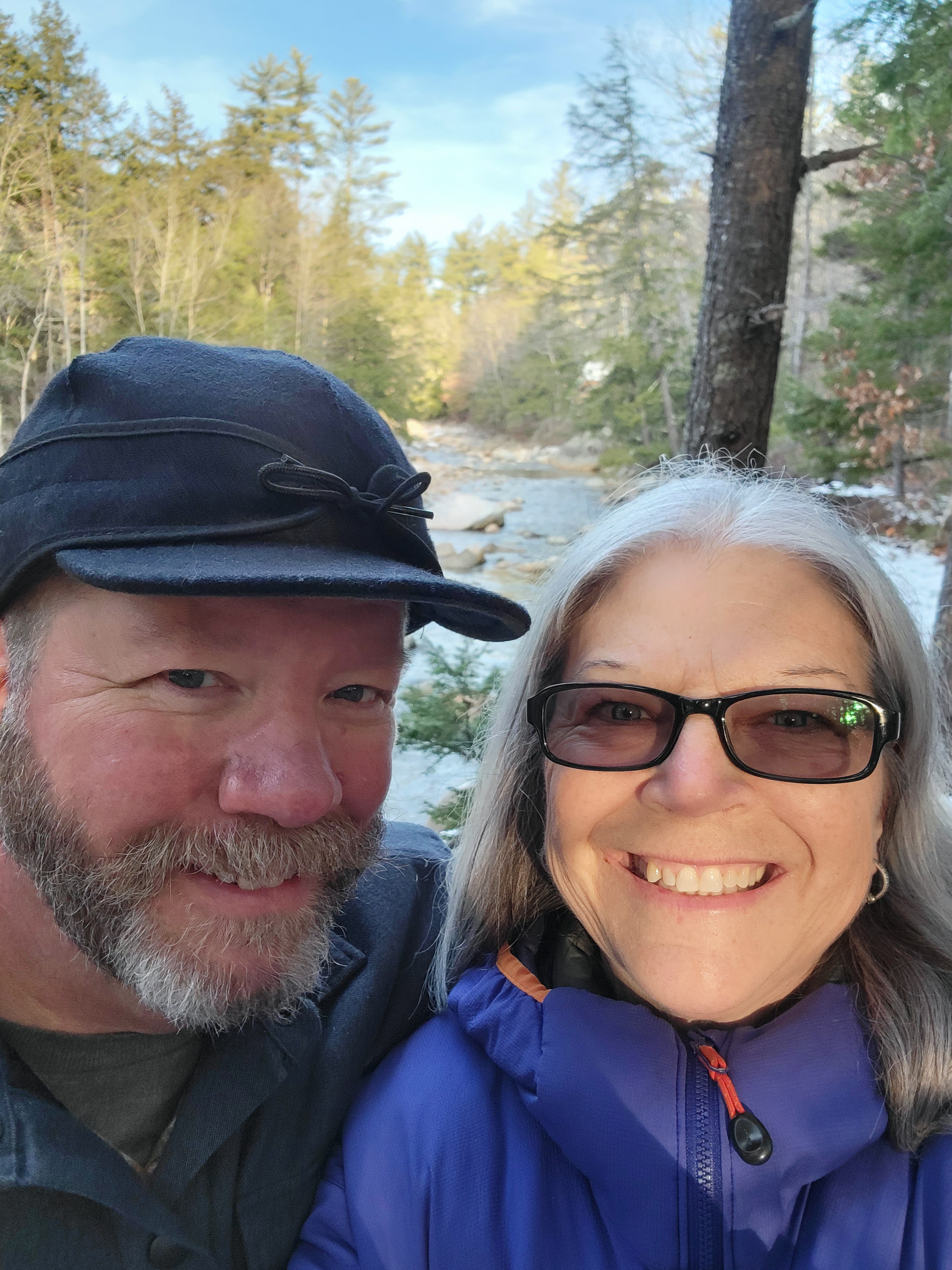
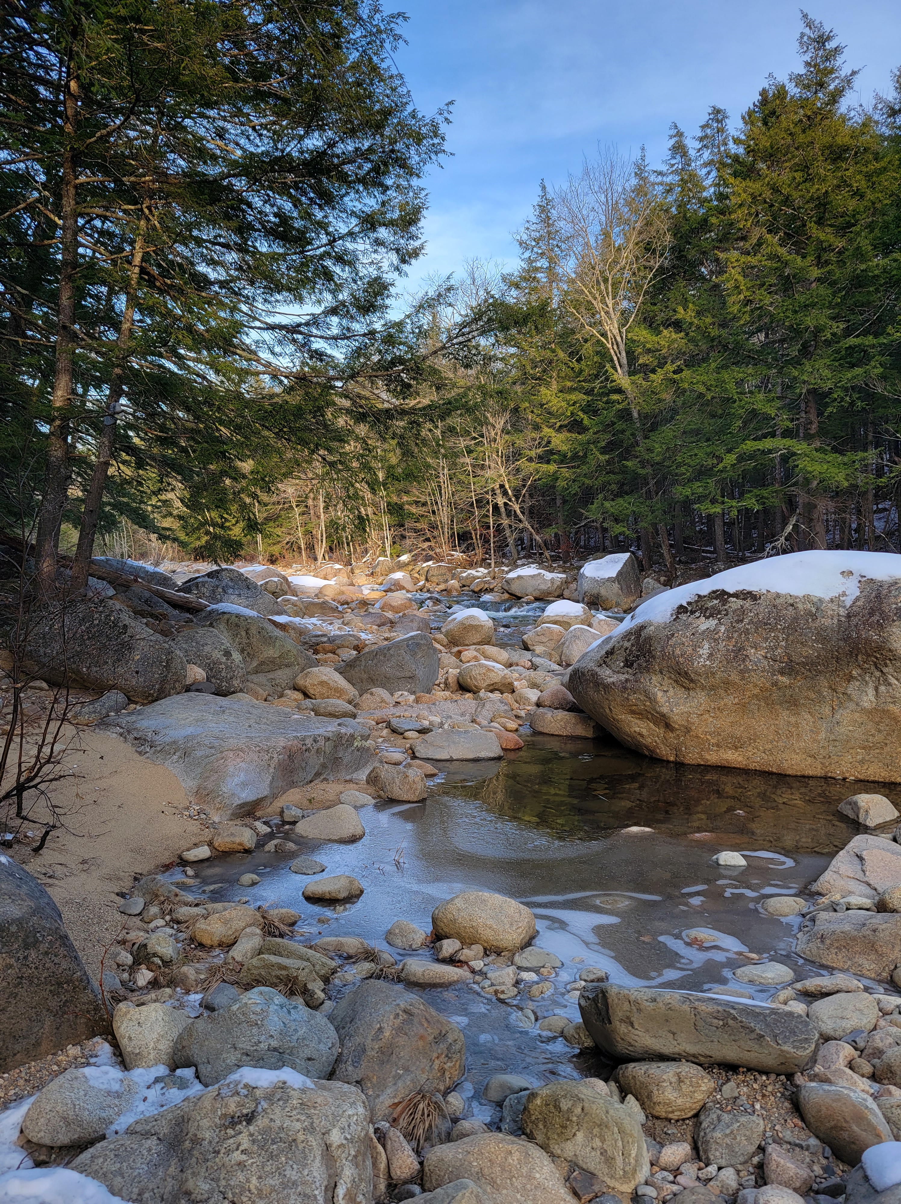
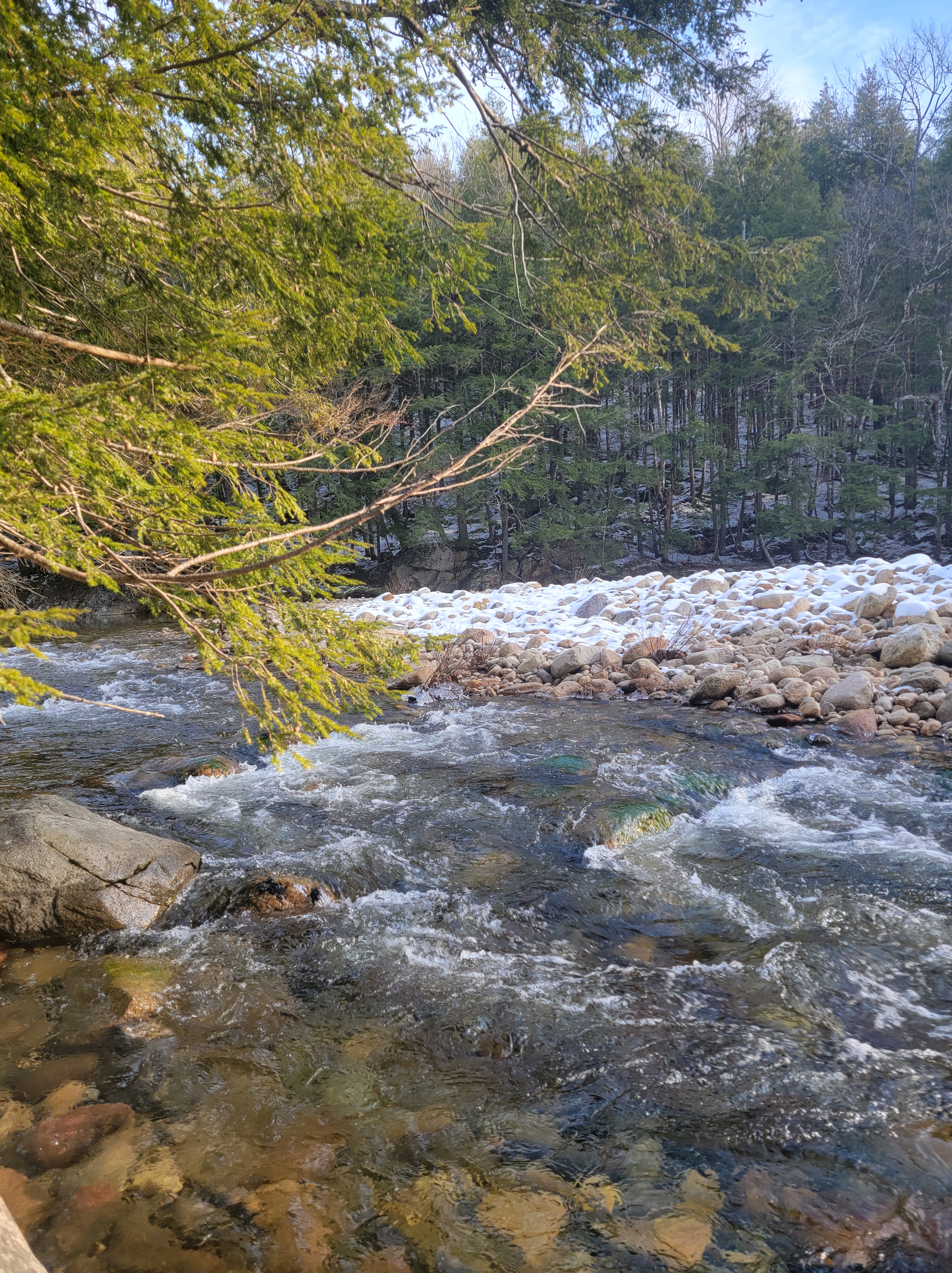
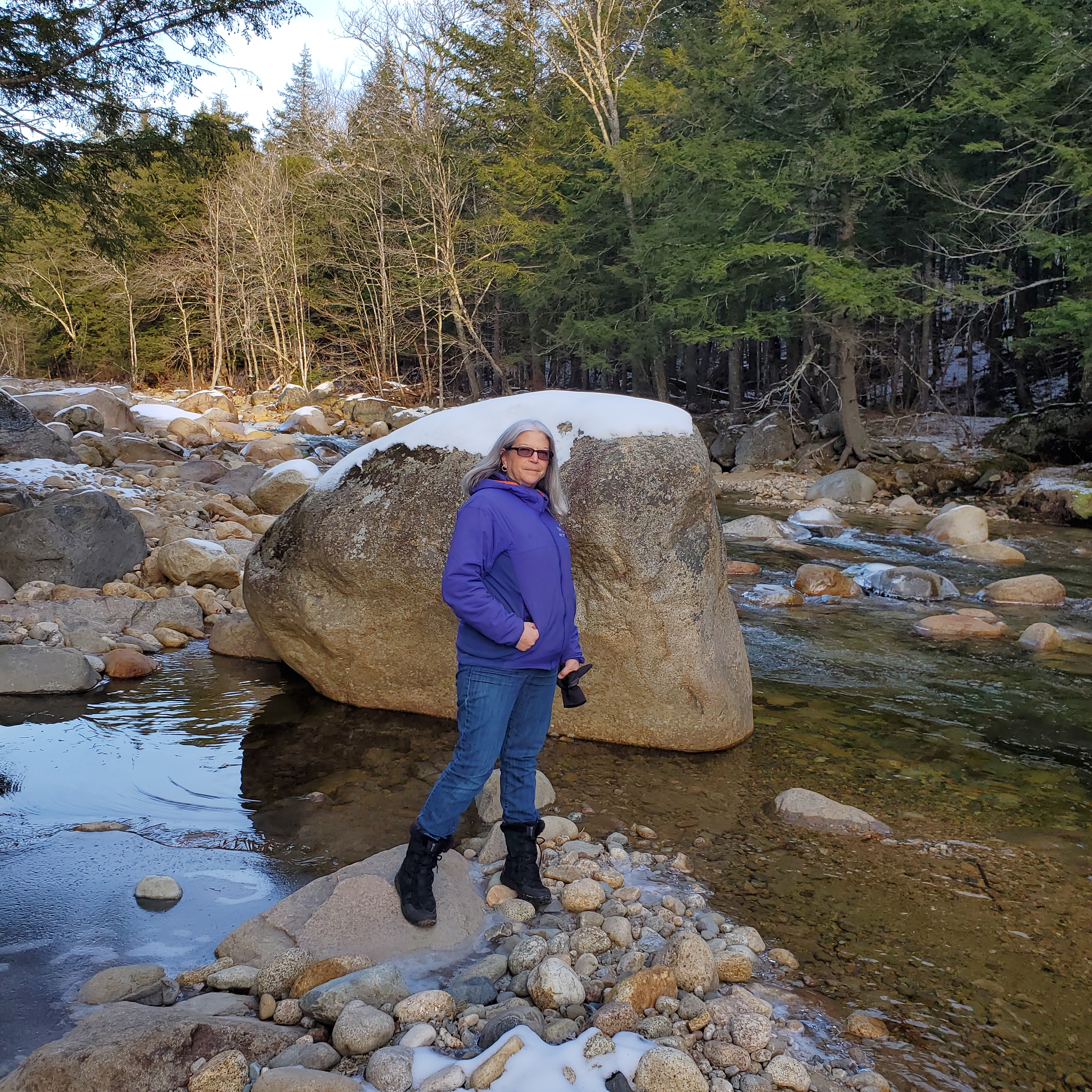
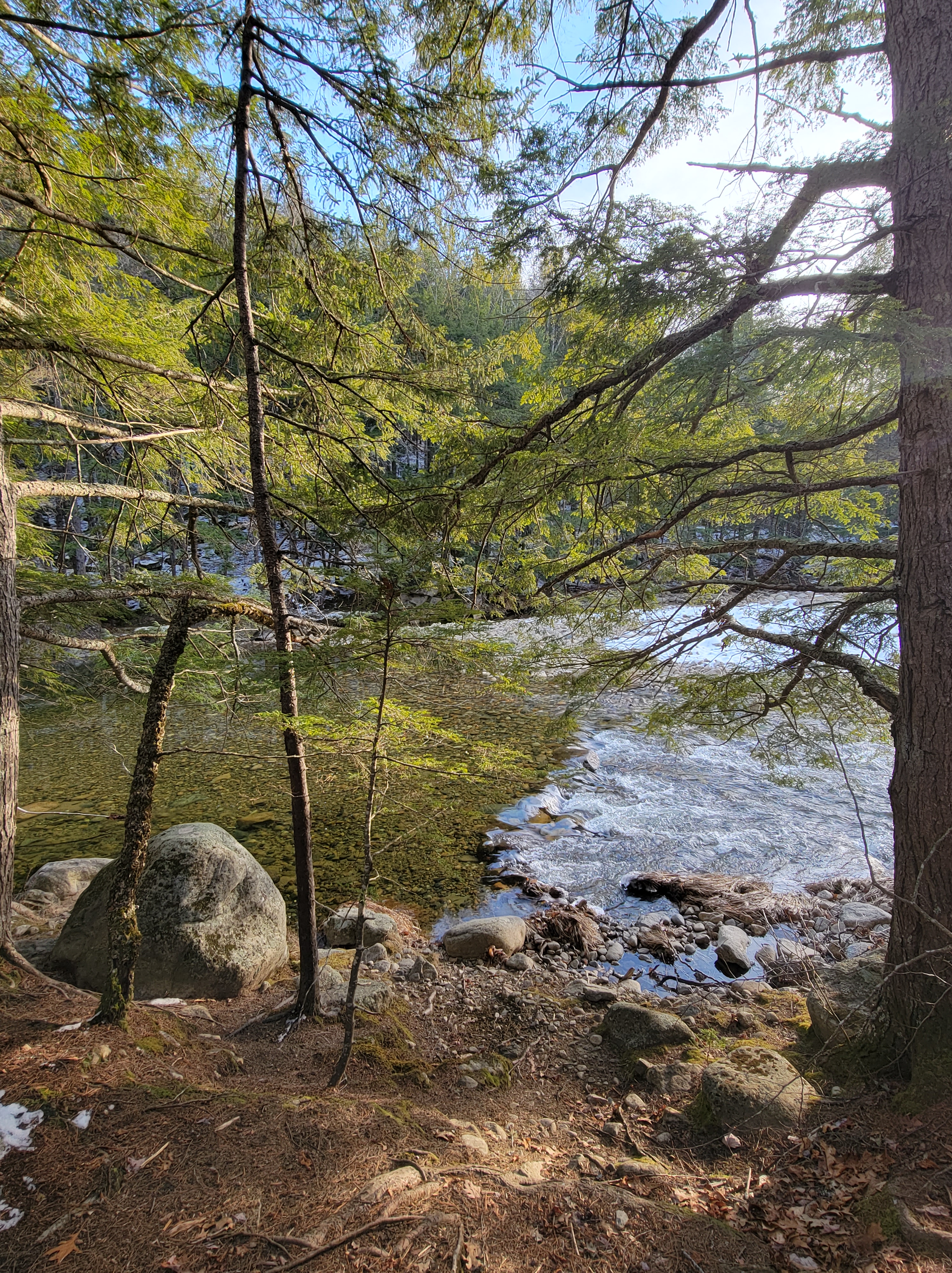
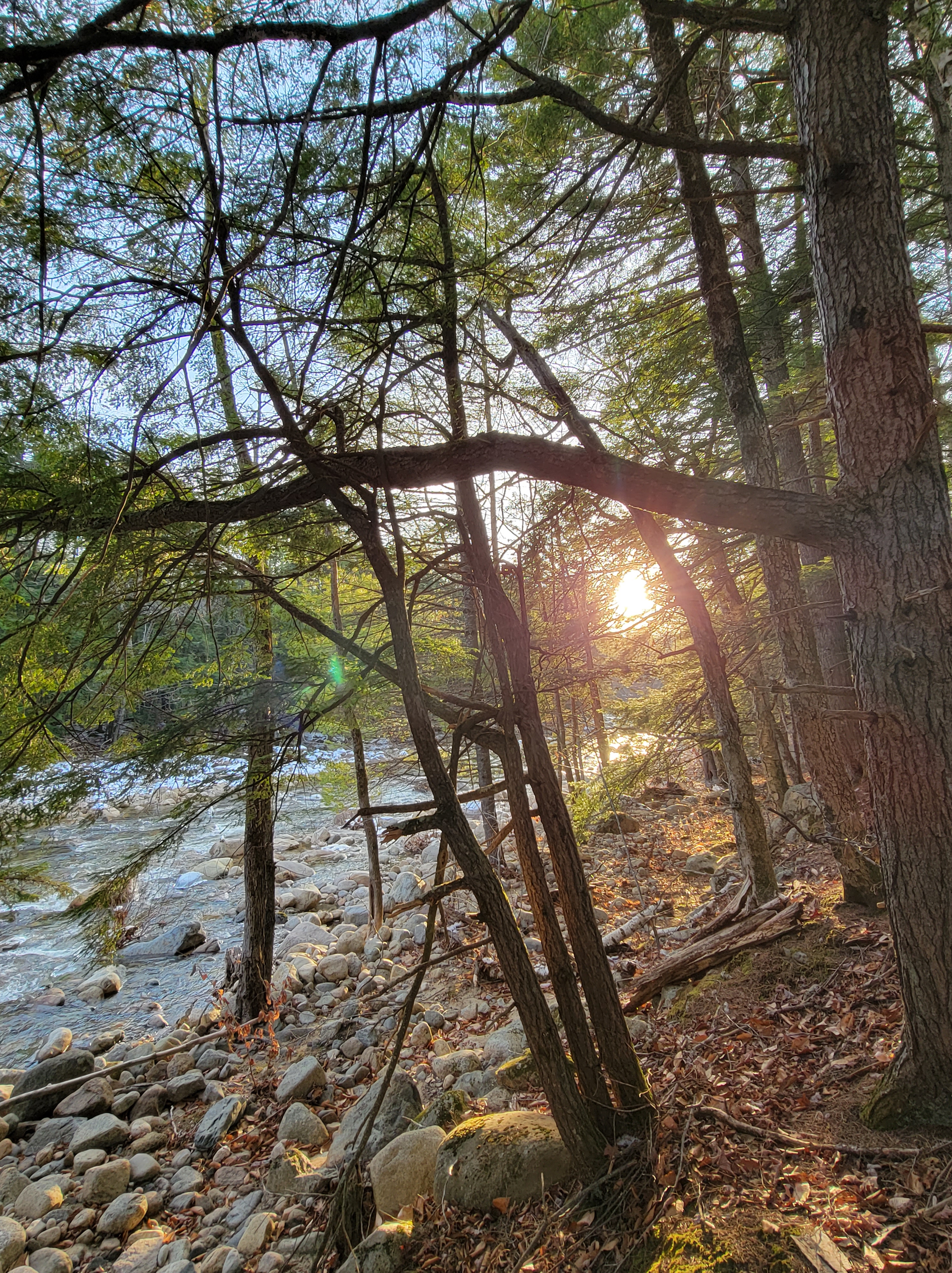
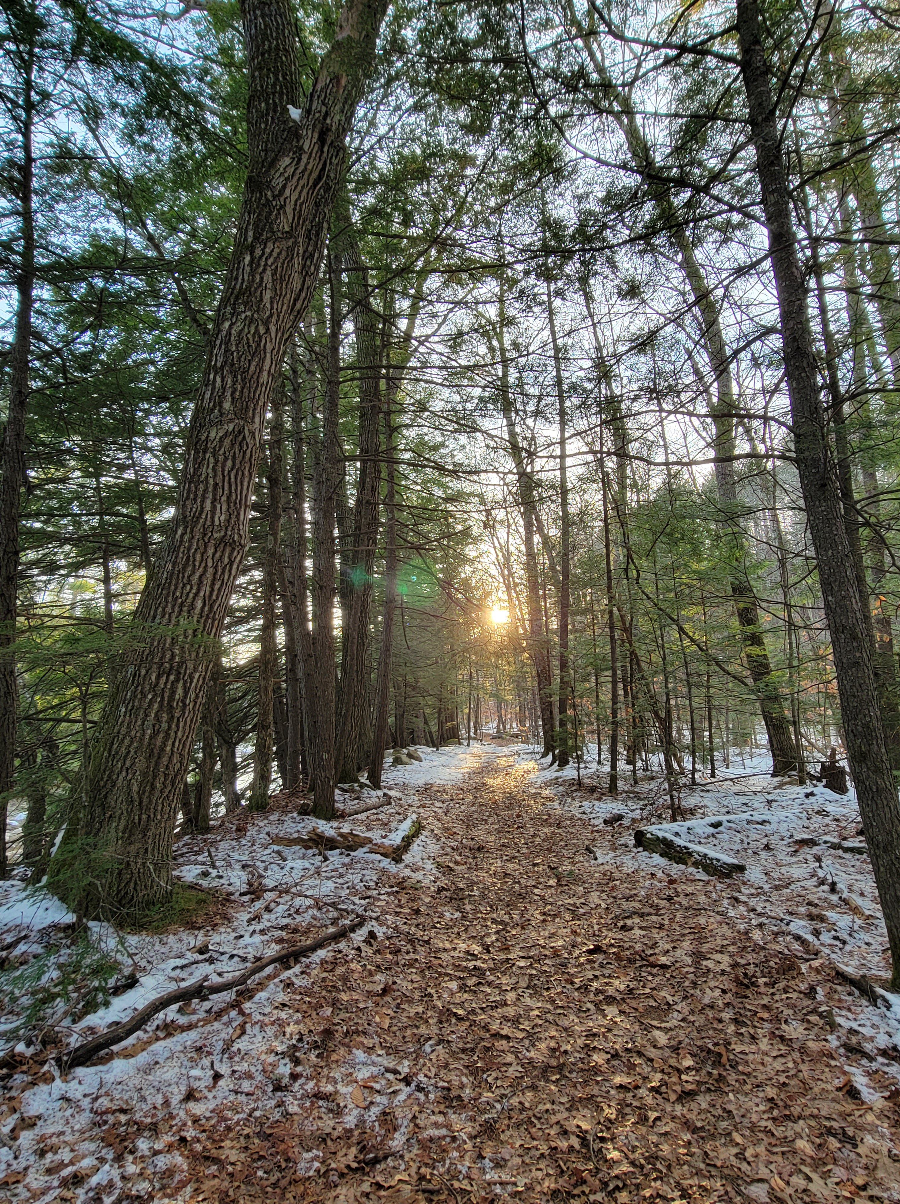
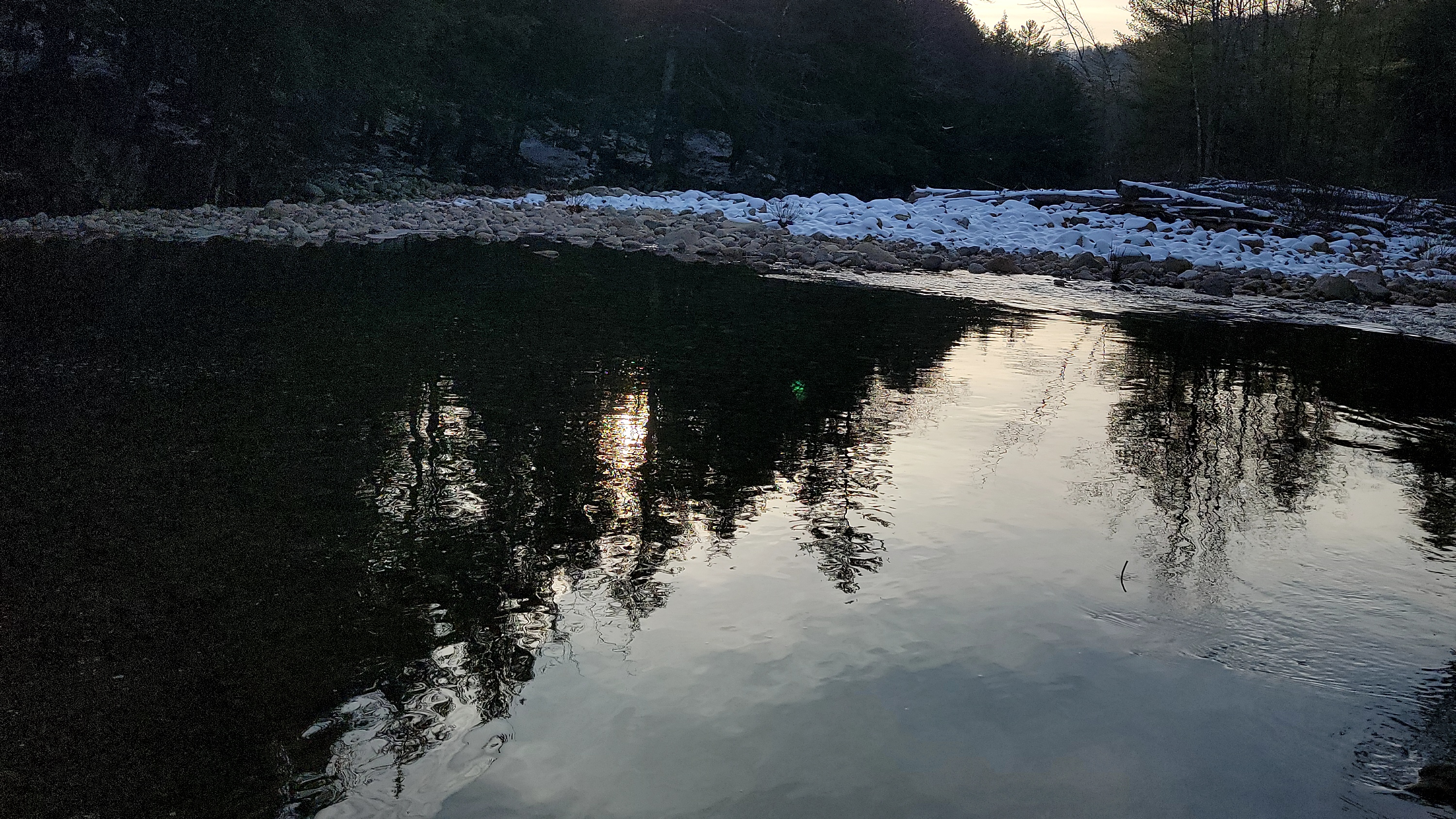
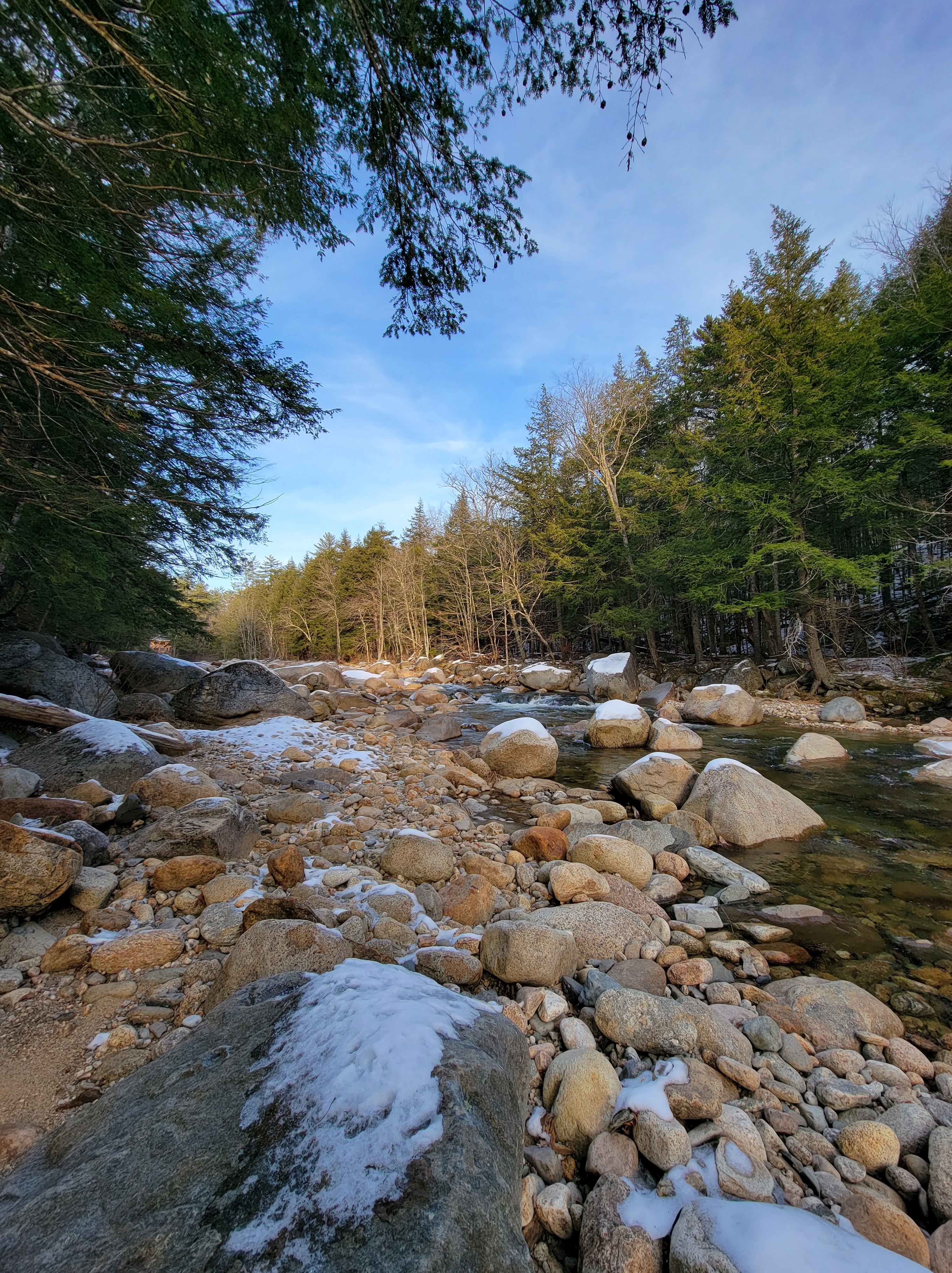
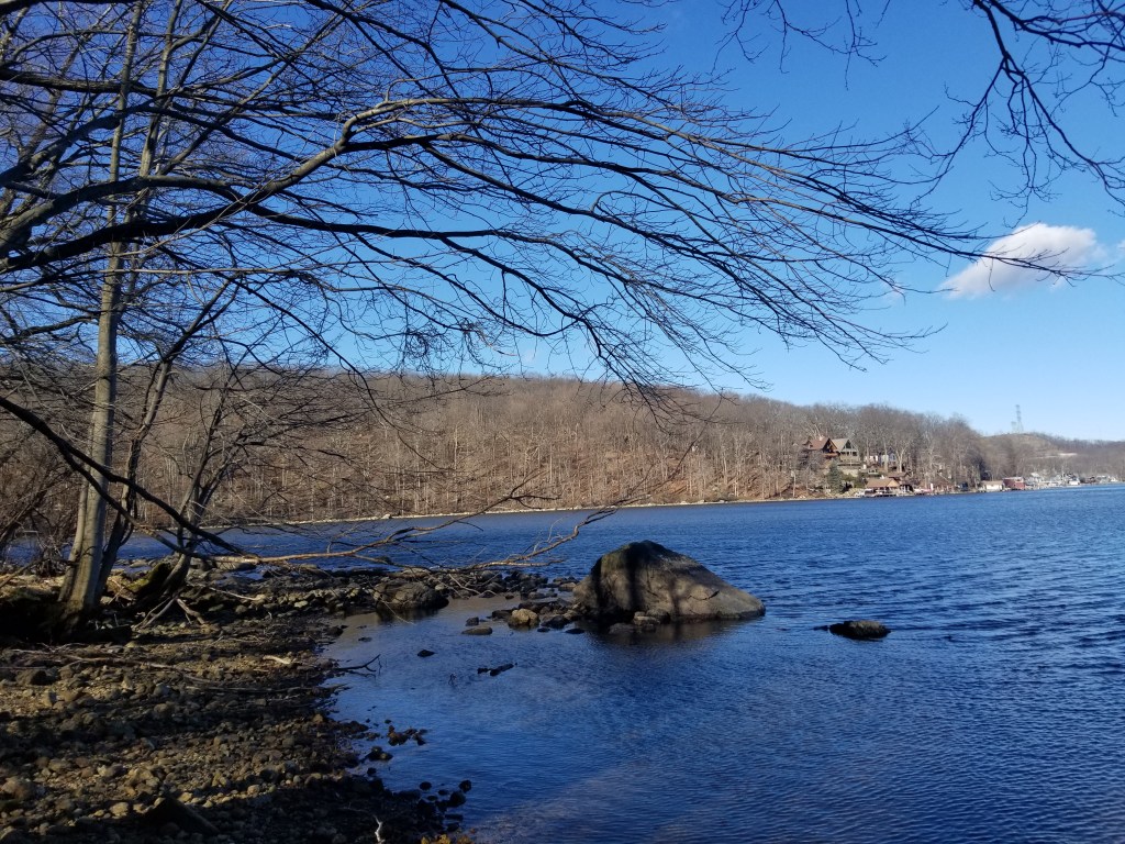
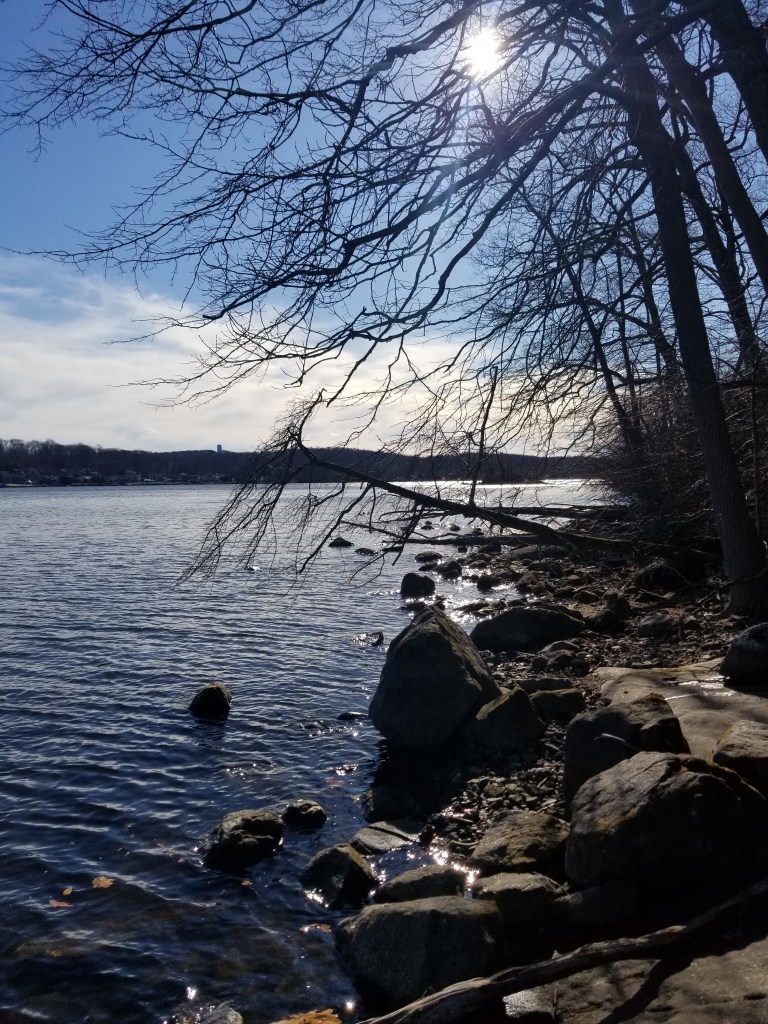
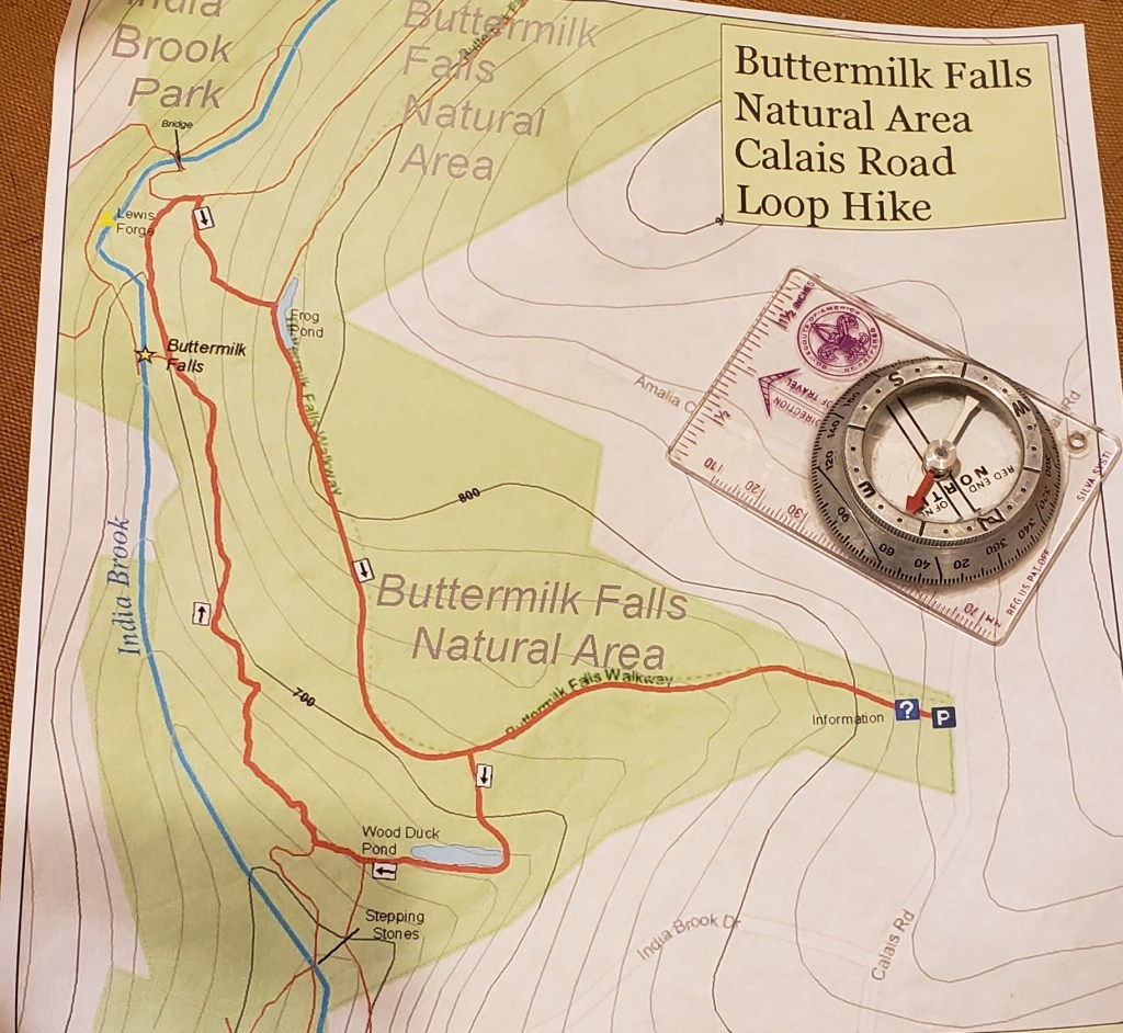
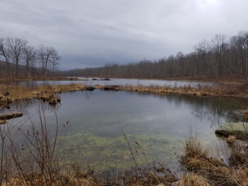
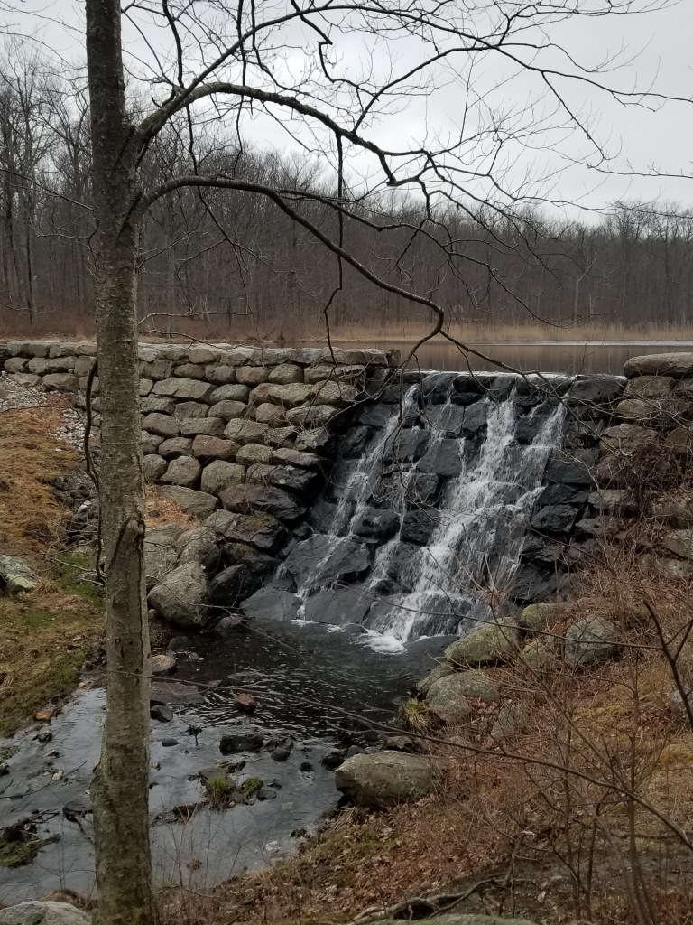
It is the off-season. Trout fishing in the local rivers and streams closed in October. Ice fishing will not kick off until after the first of the year. So I am studying map and compass skills. I go outside and navigate to a landmark. I plot several locations on a map using UTM and then check them in the field with my GPS unit. I have been practicing using paper maps and compass as well as my Garmin GPS unit. You really do need a map and compass even with a high tech GPS unit. I think I have gotten pretty good at it.

I have read several books on the subject as well as numerous YouTube videos. This is what has begun to bother me. All the content providers state that one of the most important things to do is to leave an itinerary with someone. This is to give rescuers an idea of where to look for you if you don’t return when you should. A great idea. In older books, it is recommended that you leave the same information on your car even leave a map of your plan and any changes you might have made. Another great idea, rescuers would use your parked car as a starting point. However, in the newer books and videos, the authors strongly advise you not to do this. Why, because theaves will know that you will be away for a while and steal the contents or even have time to steal the car.

A similar issue came to light back in New Jersey. A fellow angler advised me to remove the Trout Unlimited and fishing company brand stickers off of my truck. When I asked why he stated unscrupulous people will use that as a clue as to the value of the stuff in your truck and break in.

All this makes me think that shitty people are staking out trailheads and fishing parking spots just waiting to rip you off. I thought that all us outdoors folk stick together and I was safe from this stuff out away from the city.
I guess not. What in the world is going on out here?

Fishing hard until the end of the season.

The end of trout fishing season is fast approaching here in New Hampshire. The brookies are moving upstream to spawn and my old fishing haunts almost appear to be fishless. I have found a new tiny stream to fish it’s very much off the beaten path. Every time I go I feel like I spent the day rock scrambling which I have. This stream comes down off the side of a mountain it truly is a headwater stream. This is a waterfall plunge pool, waterfall plunge pool type of fishery. To move from pool to pool you have to climb up a rock jumble waterfall. I am amazed at the little pools that I’m catching brookies in. At the end of the day I’m quite tired. However like I’ve said hundreds of times the reason I love trout fishing is because of the beautiful places that you do it in.

Old workhorse

I had been shopping for a backpacking stove. I just wanted something to carry to make coffee or soup or whatever. I thought about the old brass stove my parents bought me back in 1976 for my Appalachian trail hike. I did not think I still had it. I dug around in a bin labeled “assorted camping stuff” and there it was. I could not imagine that it would still work, but after a little cleaning up it worked fine and boiled a cup of water in about 3 minutes. It is a Svea 123r still made. No need to spend $100 bucks. This thing is so simple that it might last another 45 years.

Svea 123r Stove I used on the AT in 1976 when I was 14 years old.

A Quiet Thanksgiving

We had a quiet Thanksgiving. I was home for a change. Marylynn got the bird in the oven early and the sides were all ready to go. We took the downtime and went for a short walk. We have a trail that starts a couple of 100 yards up the street from our house. It runs for about half a mile along the East Branch of the Saco river. It was a beautiful New England day. Of course, I looked for where the Brookies might be hiding.

We took a little walk

Marylynn and I took a little walk today. We went out to a little park in Jefferson, NJ. Prospect Point Preserve is a small park on the shore of Lake Hopatcong. The trail-head is located on Brady Rd by the basketball and tennis courts. The trail is well marked and it brings you to a new wooden bridge that brings you over to Liffy Island. We had the treat of seeing a bald eagle perched in a tree on the island side of the bridge. The trail is a little muddled once you get onto the island, but the island is small and easy to explore. This is a cool little hike for a Sunday afternoon.

Every little bit helps!

I consider myself an outdoors man and therefore I consider myself an environmentalist. I need to preserve the venue in which I pursue my past times. When I am out fishing, I pick up trash along the way. When I clean up a campsite, I usually end up leaving with more trash than I brought in.

However, I know that some of the products I need to use in my outdoor pursuits are not the best for the environment. This is often the case when it is time to dispose of the old stuff. This came to my attention when I received a Christmas gift from my daughter. It was a gift pack from a company called “Flyvines” https://flyvines.com . The gift included a sun glass retainer strap, a tool lanyard and a really cool bracelet. These were all made from recycled fly line. This is a great idea! From now on, I will be sending all my used fly lines to this company for recycling. Hopefully, this will keep a little bit more plastic out of the landfills.

Am I lost?

My wife and I went for a short hike or long walk, depending on who you talk to. We walked about 5 miles out and back on a local rail trail. I used my cell phone to track and map our trip. I think a lot of people do this, which I think is great. I use a phone app called ” BackCountry Navigator”. The free version allows you to plot your trip on a topo map and save it. It gives you stats like Total time, distance and speed. The paid version gives you the ability to download different map layers and many more features. I don’t believe that Marylynn and I could have got lost on this particular trip. I really don’t believe that you could get lost on most hikes you might take in New Jersey, but you can certainly end up really far away from your car!

As I said, most of us count on our cell phones for navigation. This works great where we have cell coverage. What if the damn thing goes dead? Do you carry a paper map? A compass? Can you read a map? Do you know how to use a compass?

I recommend that we all carry a paper map and a compass. You don’t need the skill to make a trip to the north pole, but you should be able to find north. Use the map and compass to get you the the nearest road if you get turned around in the woods. At the very least, pick up a trail map at the trail head if available. These can usually help you navigate by landmarks to get you back to your car in a pinch. Maybe seek out a class on map and compass use at you local library, hiking club or outdoor store. You could use that cell phone to find online instructions. Oh wait, your phone crapped out, that’s why you need the map in the first place.